Picture of the Day: Arch in Bryce Canyon National Park

This is a cool arch I saw when visiting Bryce Canyon NP. It’s probably named, but I don’t know what the name is. Bryce Canyon is such a fantastic National Park. I’d like to get back there to explore the park some more.

Update: I found out in my notes that this arch is called Natural Bridge. It’s located about 4 miles down the main road from the lodge and Sunrise Point. rk

Camping: Goosenecks State Park

Southern Utah is a huge tract of wilderness that you could spend years exploring and still not see it all. With 5 National Parks, 43 State Parks, and over 70% of Utah being federally protected land, it has the third most publicly owned land of any US state (after Alaska and Nevada). Last time I traveled to Utah, I was traveling North on US 163 through the iconic Monument Valley and the town/rock of Mexican Hat. Not wanting to pay $20 to camp at the nearly full Monument Valley campsites with a million other tourists, I discovered Goosenecks State Park. Leaving from Monument Valley it is a short 30 minute drive North on US 163 and then a left on Utah 261 just after Mexican Hat, then one last turn on the dirt Utah 316 which dead ends at the small state park. Despite being small, Goosenecks has views that stretch as far as the eye can see. To the South is the winding canyon formed by the San Juan river, in the distance behind the canyon you see the monoliths of Monument Valley.

temporary

Our tent next to the Gooseneck Canyon.

nighttent

Our campsite at night after dinner.

To the North is empty desert and wide open skies that the stars fill perfectly at night. East and West of you, the canyon continues to slither through the desert floor. To camp here it is only $10 (that includes the entrance fee). There are 8 first come-first serve campsites along the rim of the canyon, in early August we were the only campers there. The “road” through the park is very rock and not maintained at all so you will want to be careful driving on it (With that said we were driving a Honda Accord and were fine). There is no water or firewood to collect but there is a bathroom (pretty far from the good campsites) so make sure you are prepared to camp here. Goosenecks State Park is one of my favorite places I have ever camped and would recommend it to anyone looking to stray away from the crowds at Monument Valley and experience more of the beauty that Southern Utah has to offer.

Thanks! -Josh

Here is an amazing hike right near Goosenecks State Park: Honaker Trail

Ten Reasons to Visit Southern Utah in 2018

Southern Utah is one of the most beautiful places in the world.   Southern Utah is home to five National Parks along with multiple National Monuments and State Parks.   Here are ten reasons to go visit Southern Utah in 2018.

#1:  Arches – Utah has the greatest concentration of arches in the world. It even has a National Park named after Arches.

#2:  Hoodoos – Hoodoos are skinny spires of rock. You can see a bunch of them at Bryce Canyon.

#3:  Canyons – Canyons are beautiful. Canyoneering through them is great fun. The Narrows in Zion National Park is a great one to start with.

#4:  Hiking – There are thousands of miles of trails in southern Utah through the desert, canyons, and mountains. Angels Landing in Zion National Park is recognized as one of the most thrilling in the country.

#5:  Stargazing – The dark skies of southern Utah are perfect for seeing the Milky Way.

#6:  Riding the Rocks – Whether rock crawling in a Jeep or biking on the slick rock around Moab, you can get your adrenaline rush in southern Utah.

#7:  Exploring History — Canyonlands National Park is a great place to see Dinosaur Fossils and Petroglyphs.

#8:  Lake Powell – Boating through the lake to see remote arches and flooded canyons is a ton of fun.

#9:  Orchards – The orchards of Capitol Reef National Park have 3100 trees of dozens of varieties. It’s free to pick and eat as well!

#10:  Backcountry camping – Some parts of Canyonlands National Park and Grand Staircase Escalante National Monument are days away from civilization. It’s a great place to get away from civilization.

rk

Sunday Hikes: Honaker Trail

If you drive north from Mexican Hat, Utah and turn left on highway 261 and then take another left towards Goosenecks State Park and then turn right on the first dirt road and then keep left at the dilapidated water tower thing and then park at the top of the big hill and walk about a mile down the rocky road to were some resemblance of a hiking trail takes you to the edge of the canyon where the number 147 is painted onto the rock then you know you are at the Honaker Trail. At least that’s how I hoped I knew as I descended into a canyon on what might be a trail.


This trail was built during the Utah’s gold rush with the idea of bringing water up from the canyon for the hardworking miners. Unfortunately Utah’s gold rush came and went quickly and the trail was left unused for sixty years until geologists decided to take a look at the earth exposed by the San Juan River. Today it is used by hikers to explore the wild west! Not too long after hopping down some large rocks the trail seemed much more traily and made us feel better that we weren’t just following where a bighorn slid down the canyon. This hike is rocky and has long and winding switchbacks that give you many gorgeous views of the goosenecks of the canyon. 


Somewhere around what I would guess is halfway there is a large flat rocky rectangle that stretches out from the canyon wall and gives some more nice views. In the middle of the rock is a two foot wide gap that drops down maybe twenty feet. Despite being such a short hop we were too scared to make the leap (I’m a chicken).


So we moved on down a sketchy rock staircase to the next set of long switchbacks. This trail is on only five miles round trip but the hot Utah sun blazing down on you adds a couple miles I think. Once reaching the canyon floor you will find it very sandy with plenty of bugs living down by the only water for miles. You might be tempted to hop in the cool San Juan river after your 85F degree hike but it’s striking resemblance to chocolate milk with water spiders in it will deter that thought. I climbed on a big rock where a lizard was sitting while Erin took pictures of stuff and the lizard glared at me for taking its spot. After some time chilling at the bottom we had to make the hike back up before the sun set too fast on us. The hike back up is steep and rocky but went by quickly. We stopped to take pictures often and made sure we drank plenty of water. I kept an eye out for bighorn sheep but didn’t see any sadly. From the top of the canyon you can spot Monument Valley in the distance despite it being maybe thirty miles away!


We finished up our hike and got back to camp just in time for the sun to set on us and the stars to come out and fill the sky. This hike is one of my favorites for many reasons, it isn’t too long but takes some effort, it is in the middle of nowhere desert, and it is beautiful! If you decide to hike the Honaker Trail make sure you bring plenty of water and snacks as well!
Thanks! – Josh

Mexican Hat

About twenty miles north of famous Monument Valley is the town of Mexican Hat. Named after a rock formation that looks like an upside down stereotypical sombrero (like the one Speedy Gonzales wears). On a recent road trip we got to stop by and take some pics in the Utah heat! 


Sunday Hikes: Wildcat Trail

The Wildcat Trail is a 3.2 mile loop in Monument Valley Tribal Park on the Utah-Arizona state line. I have wanted to visit Monument Valley for a while now and finally got the chance on a recent road trip! 


We started on the trail around 11am despite it technically being closed in the middle of the day due to “heat waves”. The trail is very sandy in the beginning and will fill your shoes if you don’t have boots on (or high top converse might do the job as well). The trail is marked pretty well with little arrow signs pointing you towards the trail when it gets lost in one of the many arroyos. Within 30 minutes of starting we were sweating to death but still enjoying the iconic views. 


The hike takes you around and in-between the buttes and lets you feel like John Wayne (if John Wayne payed $20 to park his horse for a couple hours). Despite the sun beating down on us and being probably one water bottle short of what we needed, this hike was great and there were few people on the trail (probably because it was 100 degrees). I love a good desert hike and Utah definitely showed off its best weather with scrawling blue skies to compliment the red dirt. 


The last 50 feet of the trail is a steady incline of loose sand that felt easy to walk down but going up was a struggle for sure. We walked back into the parking lot from the trail and to our car for a sandwich lunch. The Wildcat is easy to pass over because of the desert heat but is well worth it and gives you views that you can’t get from your car! 

“Monument Valley is where God put the West” – John Wayne 


Thanks! – Josh

The Seven Natural Wonders of the Continental United States

Everyone has heard of the Seven Natural Wonders of the World, right?   I thought it would be interesting to look at the Seven Natural Wonders of the United States.   Since I haven’t made it to Alaska or Hawaii yet, I will narrow this down to the Seven Natural Wonders of the Continental United States.  Each of these places is magnificent and has been protected by our National Park System

  • Crater Lake – Crater Lake, located in Oregon, is the deepest lake in the United States with a depth of 1949 feet.  When measured by average depth, Crater Lake is the deepest in this hemisphere and 3rd deepest in the world.  Crater Lake was formed when a volcanic caldera filled with water over hundreds of years.  This lake is also known for its extreme water clarity.

Crater Lake (photo credit to guest photographer and friend, Katie)

  • The Everglades –  The Everglades are the largest subtropical wilderness in the United States.  Covering 1.5 million acres in southern Florida, this area is also known as a river of grass.  The Everglades used to consist of over 3 million acres before much of the area was drained for farmland in the early 1900’s.   This area is home to alligators, manatees, and the Florida Panther.
  • The Giant Sequoias and Redwoods – These enormous trees in California are the tallest and largest trees in the world.  These two species are closely related.  The Redwoods can reach heights of 375 feet and diameters of 25 feet.  The Giant Sequoias can reach heights of 275 feet and diameters of 30 feet.  These trees truely must be seen to be believed.


Redwood trees in Muir Woods 15 minutes north of San Francisco

  • The Geothermal Features of Yellowstone – Located in northwest Wyoming, Yellowstone is an unearthly place.  The first explorers of the area brought back tales of exploding geysers, colorful pools of hot and poisonous water, and boiling mud that were not believed.  We now know that this area sits upon a super volcano that will one day destroy much of North America when it erupts again.  In the meantime, it is a beautiful and mesmerizing place to visit.

Hot spring in Yellowstone National Park

  • Death Valley – The commonly held image of Death Valley is of a swelteringly hot wasteland.  While it is true summer temps here can top out at 130*F, there is a lot to be amazed at here.  Badwater Basin in the center of the park is a giant salt flat and at 282 feet below sea level is the lowest point in North America.  Telescope Peak rises directly behind Badwater Basin to a height of 11043 feet.  The only population of the rarest fish in the world exists in Death Valley.  There are less than 200 Devil’s Hole Pupfish left.


Badwater Basin in Death Valley

  • The Arches of Utah – The highest concentration of rock arches in the world is in Utah.  Arches National Park has over 2000 arches alone with thousands more spread out across southern Utah.  Landscape Arch spans 290 feet.  Rainbow Bridge boasts a height of 290 feet.  Delicate Arch is arguably the most famous in the world.


Mesa Arch in Canyonlands National Park

  • The Grand Canyon – The Grand Canyon is the only member of this list that is also one of the Seven Wonders of the Natural World.  It is located in northern Arizona and was carved over a millennia by the Colorado River.  The Grand Canyon has a length of 277 miles, width up to 18 miles and a depth of  6093 feet.  To appreciate the Grand Canyon in all of it’s glory you will want to hike or mule down to the Colorado River.


Sunrise at Mather Point in the Grand Canyon

rk

Sunday Hikes: The Mesa Arch Trail

img_1899

The Mesa Arch Trail in Canyonlands National Park is a nice easy loop trail that starts off the main road in the Island in the Sky portion of the park.   Island in the Sky is a mesa with thousand foot cliffs on all sides.   The views of the canyons that surround it are reminiscent of the Grand Canyon and possibly even more magnificent.

The trail itself is just .6 miles in length and well marked.    I was able to hike this trail with several of my children right after sunrise.  Supposedly there are bighorn sheep all over this park so we had our eyes out looking for them.   Unfortunately, the hard to see bighorn still evaded us.   At the far part of the loop we got to Mesa Arch just as the sun was rising behind it.    We were able to get a picture of all us under the arch thanks to some other hikers.   Mesa Arch is right on the cliff with a significant fall right behind it.   Peeking through the arch down at the canyons below made our morning.   We were able to quickly get back to the car and head on to the next overlook in this underrated park.

img_1901

If you are in Southern Utah, don’t neglect visiting Canyonlands NP in favor of other more famous parks like Arches or Zion.   Canyonlands is an amazing experience and I recommend this quick trail as well as the entire park.

rk

7 Reasons to Visit Capitol Reef National Park

Oddly enough, until I started planning my first trip to Utah, I had no idea that Capitol Reef National Park was in the American west.   I pictured it being in some exotic south Pacific locale because of the name.   Instead of coral reefs and coconuts, Capitol Reef NP is known for its interesting geology and fruit orchards.   Here are 7 great reasons to visit Capitol Reef NP.

1)  Capitol Reef is a Gold Tier International Dark Sky Park:   From the IDA website, “An IDA International Dark Sky Park (IDSP) is a land possessing an exceptional or distinguished quality of starry nights and a nocturnal environment that is specifically protected for its scientific, natural, educational, cultural heritage, and/or public enjoyment.”   In layman’s terms, you can see a whole bunch of stars.   It really is exceptional to be able to view the Milky Way galaxy and the night sky the way it was before light pollution became such a problem.   I love this Tyler Nordgren poster by the way.

capreef-tyler-nordgren-2-for-web_1

Copyright Tyler Nordgren

2)  The Waterpocket Fold:   This is a geologic monocline on an epic scale—stretching almost 100 miles.   Basically, consider this to be a wrinkle in the earth caused by tectonic activity.   You can learn more about it here:   https://www.nps.gov/care/index.htm.

3) Fruit Orchards: The orchards in the Fruita district are amazing and free to pick and enjoy on site.   There are over 3100 trees in 19 orchards all clustered together.   The fruits include apples, plums, apricots, cherries, peaches, pears, and many others.   Most of these fruit trees produce heirloom varieties of fruit rather than the common mainstream varieties found at your local grocery store.

img_1921

4) Locally Baked Fruit Pies: Also in the Fruita district is the Gifford Homestead.   Once the homestead and farm of a Mormon family, this is now operated by the NPS and sells locally made crafts and victuals.   The baked fruit pies are incredibly delicious and a must get when you visit.   It’s hard to decide between the apple and cherry as my favorite.

5) Petroglyphs: Many of these are in plain sight.   This picture was taken out the window of my rental car on Hwy 24.

img_1919

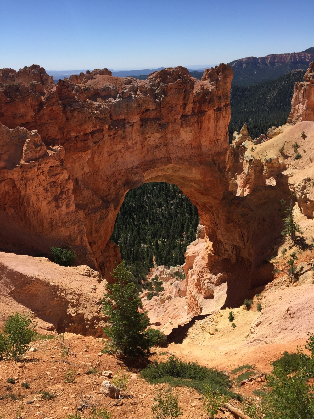
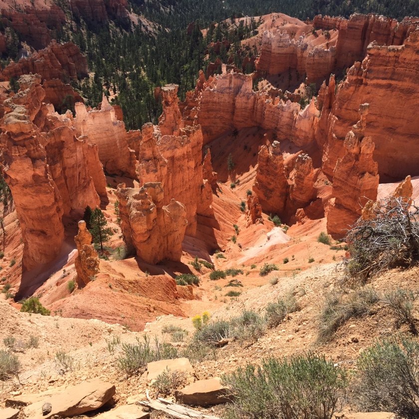
6) Hiking: Some of the many great trails include the Rim Overlook Trail and Cassidy Arch both easily accessible from the Fruita district.

7) Convenient:   Now I realize that this park is in the middle of Utah far from any airport or major city.   What I mean by convenient is that if you are in the Moab area visiting Arches and Canyonlands and wanting to drive across the state to Zion and Bryce Canyon then take a slightly longer more scenic route right through Capitol Reef.   It probably adds 20 minutes of drive time but gets you off the interstate and through some beautiful back country.

Thanks for reading.   rk

Sunday Hikes: Angel’s Landing (Josh’s Perspective)

I’m going to preface this post by saying that you should read last week’s “Sunday Hike” about Angel’s Landing for a little more detail on the trail itself.

Angel’s Landing acquired it’s name from someone exploring the Zion Canyon in the early 1900s and commenting that “Only an angel could land on it”. However nowadays thousands of people have stood atop the peak of Angel’s Landing and looked down at the ant-like cars below on the canyon floor. I am lucky enough to be one of those many people. My family and I began our hike in the summer morning and it was already getting hot. We followed the trail along the river and up towards the first set of switchbacks that were long and not too steep but in the direct sun. By the time I reached the top of these switchbacks I realized how far behind me the rest of my family was so I waited before I could see them and they waved me to go ahead without them. So I continued through the only shaded part of the trail, a small side canyon with trees and a creek and beautiful cool air. This luxury went away quickly however and I found my self facing the infamous Walter’s Wiggles, a set of 21 switchbacks that shoot you steeply up the canyon wall. I fought up the wiggles quickly and thought to myself that they weren’t all that bad after all. At the end of the wiggles the trail turned and opened up into the “Scout Lookout” area (Also known as the chicken out spot). This is where the trail began it’s most famous feature of a small narrow path crawling out across a rock spine jutting out some 1500 feet from the canyon floor. I didn’t hesitate at all and climbed up a steep rock with a nice chain to hold onto while yielding to the many people returning from the other end of the trail. This portion of the trail was much longer than I had expected but also nowhere near as terrifying as I expected. The scariest thing to me wasn’t the steep drop offs on either side off me but rather how many people populated this tiny trail. It took a while to reach the end because of the extra caution you have to take and giving way to returning hikers (All of which kindly encourage you that you are almost there). At last I reached the crowded summit and took in the beautiful surroundings of Zion.

img_2377

After looking around and taking some pictures I had a snack and started my journey back (That rhymes). The return trip felt much quicker as well as easier. I passed my dad and my sister on the way back (probably at one of the narrowest parts of the trail). My dad was clinging to the chain for dear life and asked me for water because they had none. We wished each other good luck and parted ways. I quickly arrived back to the Scout’s Lookout where my other family members were waiting. We had a little snack and some water and them headed back down the trail. We soon were back at the canyon floor, sitting at a picnic table and looking up at Angel’s Landing marveling at how crazy it was that I had just been all the way up there. My dad and sister soon met up with us and we continued the rest of our day but ever since I finished hiking Angel’s Landing, I have been looking forward to hiking it again. -Josh

img_2380